GIS in Real Estate: How and Why
Location plays a vital role in both GIS and real estate. By leveraging GIS technologies, developers, investors, and professionals in the real estate industry can access valuable data such as property boundaries, quality, and geographic peculiarities. This information is essential in finding the perfect property match for clients, saving time and money for real estate agencies.
But how does GIS for real estate work? One of its key features is spatial analysis, which provides detailed information about a property's characteristics and its surroundings. With GIS, we can gain insights into the state of the neighborhood, the presence of leisure facilities, shopping malls, commute routes, and even the risk of flooding or earthquakes. In other words, GIS helps meet expectations and demands by providing a comprehensive understanding of the property.

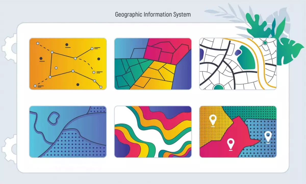
All the gathered data may seem like random numbers and words to an average land buyer. However, real estate agencies present this data in an easily understandable format - an interactive data layered map. This map allows users to analyze specific areas and add or remove different characteristics. The data layers include location and addresses, settlement limits, zoning, zip codes, contour lines, housing accessibility, opportunity zones, tax parcels, floodplain information, and permits for constructions, among others.
GIS data in real estate plays a crucial role in understanding the market. By combining land information with maps, we can observe hidden processes and make informed decisions about investments. Before starting construction, it is essential to consider the area's topography, population density, income levels, and local regulations. These factors contribute to a successful and prosperous outcome.
Benefits of Using GIS in Real Estate Market
To further emphasize the necessity of GIS in real estate, let's explore some of its advantages:
Time saving
Researching in the real estate industry is typically a lengthy process. However, GIS saves time and effort by providing all the valuable data in a convenient map format. With a few clicks, users can analyze, compare, and discover information without the need to visit different sites or locations. This efficiency allows for quicker decision-making.
Pure accuracy
In the competitive real estate market, accurate data is crucial. GIS technologies ensure that the information about specific properties is up-to-date and valid. The system constantly updates and compares data in the same format, providing reliable and trustworthy information. By considering factors such as planning, zoning, risks, and land quality, GIS helps in making the right decisions about property locations.
Mobile access
With the integration of GIS applications in real estate, professionals can access mapping systems on their mobile devices. This convenience allows real estate agents and developers to resolve issues with clients, even when they are away from their workplaces. Mobile access ensures continuous availability and enables instant communication.

Communication improvement
Effective communication is essential for successful project development. GIS in real estate enhances communication by visualizing information. It provides graphics, data tables, maps, photos, and notes, making the entire process clear and understandable for all parties involved.
Long-running capacity
GIS technology offers a safe and reliable method for storing decades or even centuries worth of data. The mapped information remains accessible and will not fade, wear out, or be lost over time. This long-running capacity ensures that data is always available for usage when needed.
Consider Inoxoft Team as a Reliable Partner in Improving Your Business

If you're looking to improve your property management to the highest standard, Inoxoft is here to help. As a real estate software development company with over 7 years of experience in the global market, Inoxoft offers top-grade services and tools.
Working with Inoxoft's team of software developers provides several benefits:
- Dedicated team
- Flexible cooperation model
- Automation, backup, and security
- Clear code and data safety
- Reliable architecture
- High-quality product
- Efficient communication
Take a look at our case study on developing property management software for a USA-based real estate company and consider partnering with Inoxoft. We're here to support your business growth and success.


